Use APKPure App
Get Airports Maps old version APK for Android
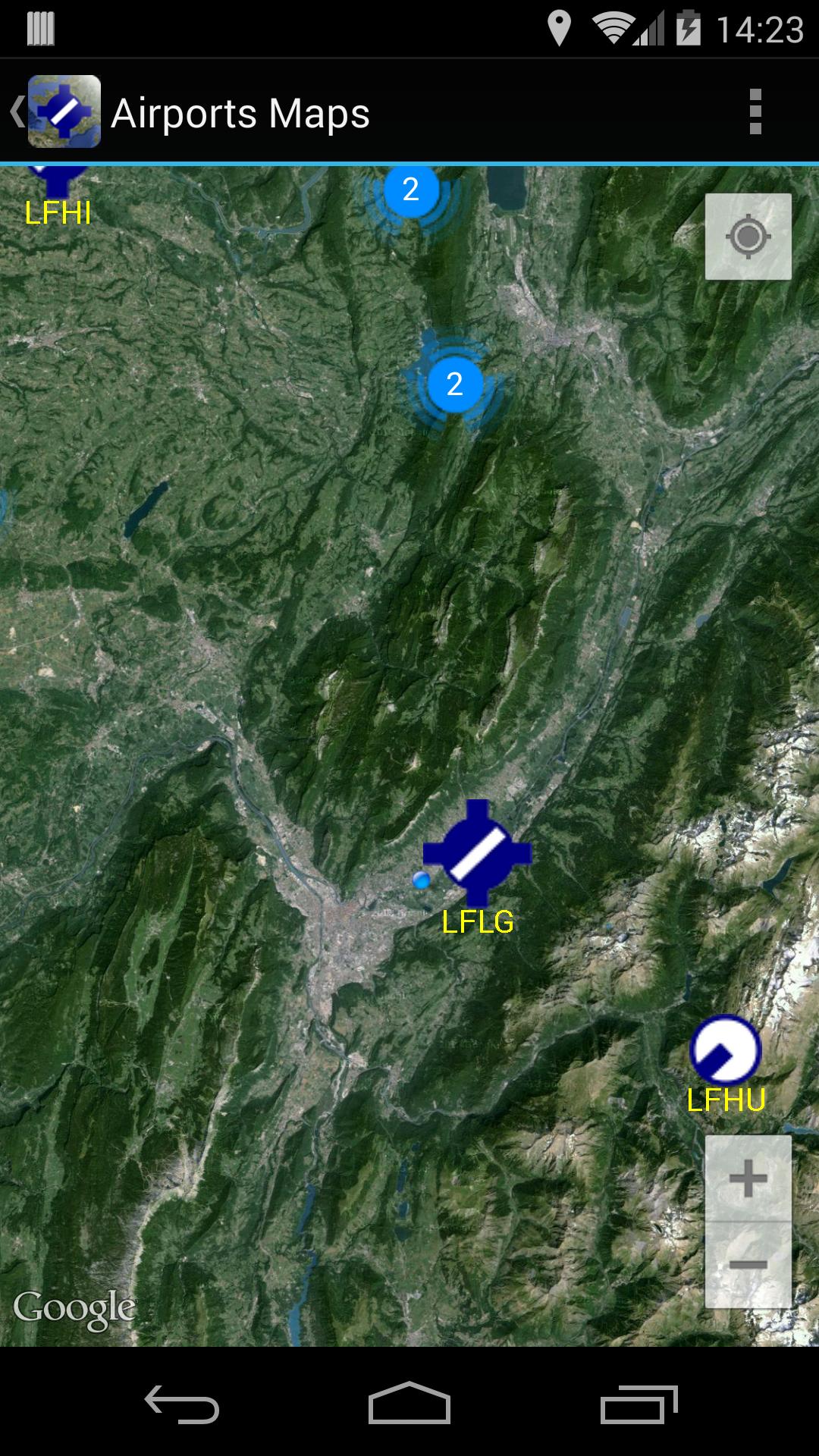
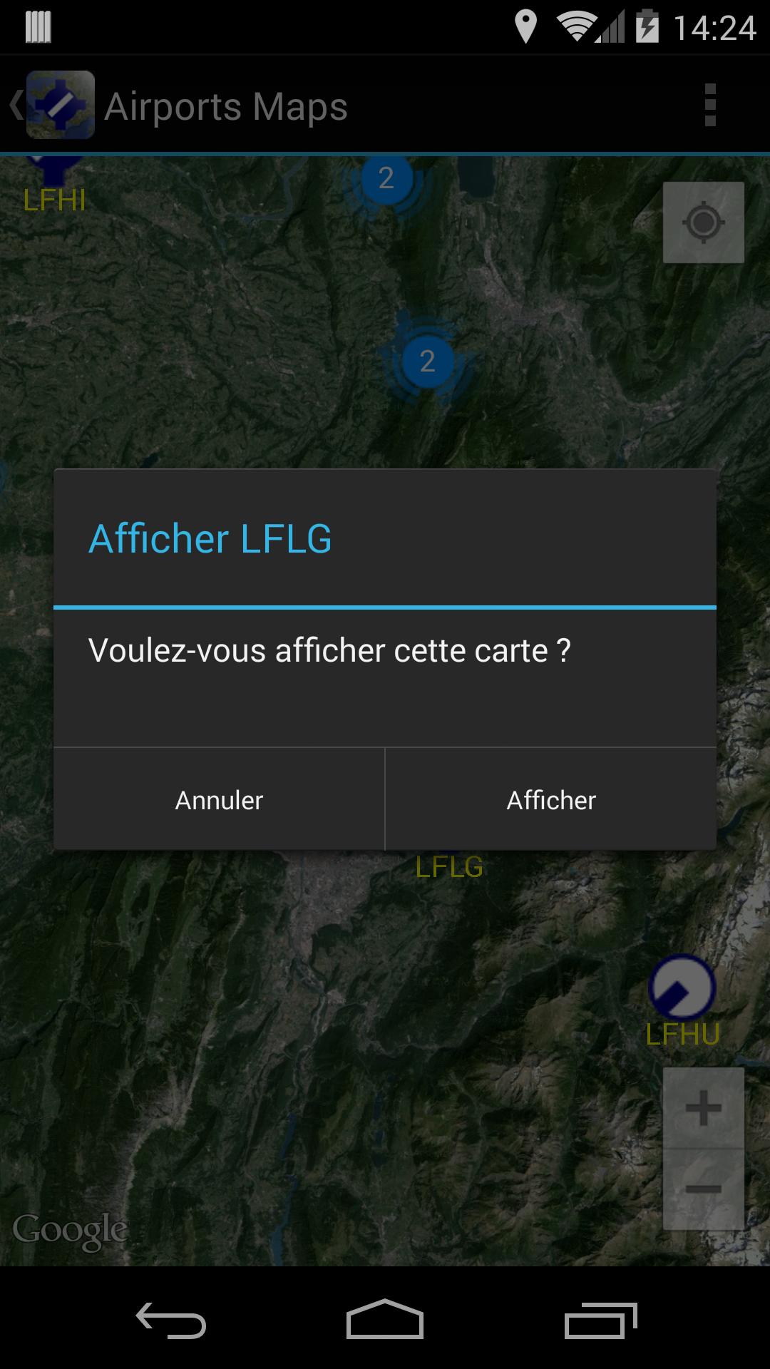
View VAC Atlas Viewer Airports / Airfields on a Google Maps.
Dear Friends Pilots,
Airports Maps is an application designed to simplify your flights.
This application requires VAC Atlas Viewer application on your device otherwise you won't have any data on the map.
Airports Maps allows to view VAC Atlas Viewer's data on Google Maps. You can see on France map the position of the different airfields (open to public, restricted, mountain, helicopter).
Here is an overview of the differents features :
- View on Google Maps, airfields from VAC Atlas Viewer.
- Visualization of data with VAC Atlas Viewer.
- Display filters.
- Interface in French and English.
- Free application, ad free !
Good flights.
Stéphane (Pilot @ LFLG).
Last updated on Dec 11, 2019
- Upgrade to AndroidX.
- Upgrade latest Android version.
Latest Version
![]() 1.8
1.8
Uploaded by
Omar Waleed
Requires Android
Android 4.1+
Category
Report


Discover what you want easier, faster and safer.

Airports Maps
1.8 by Stéphane Sandon
Dec 11, 2019