Use APKPure App
Get Simple Satellite Weather Loops old version APK for Android
View current weather satellite imagery loops from NASA GOES
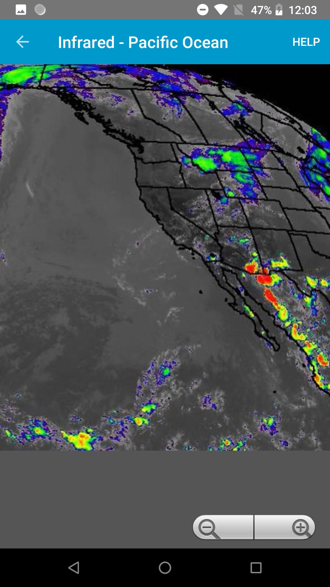
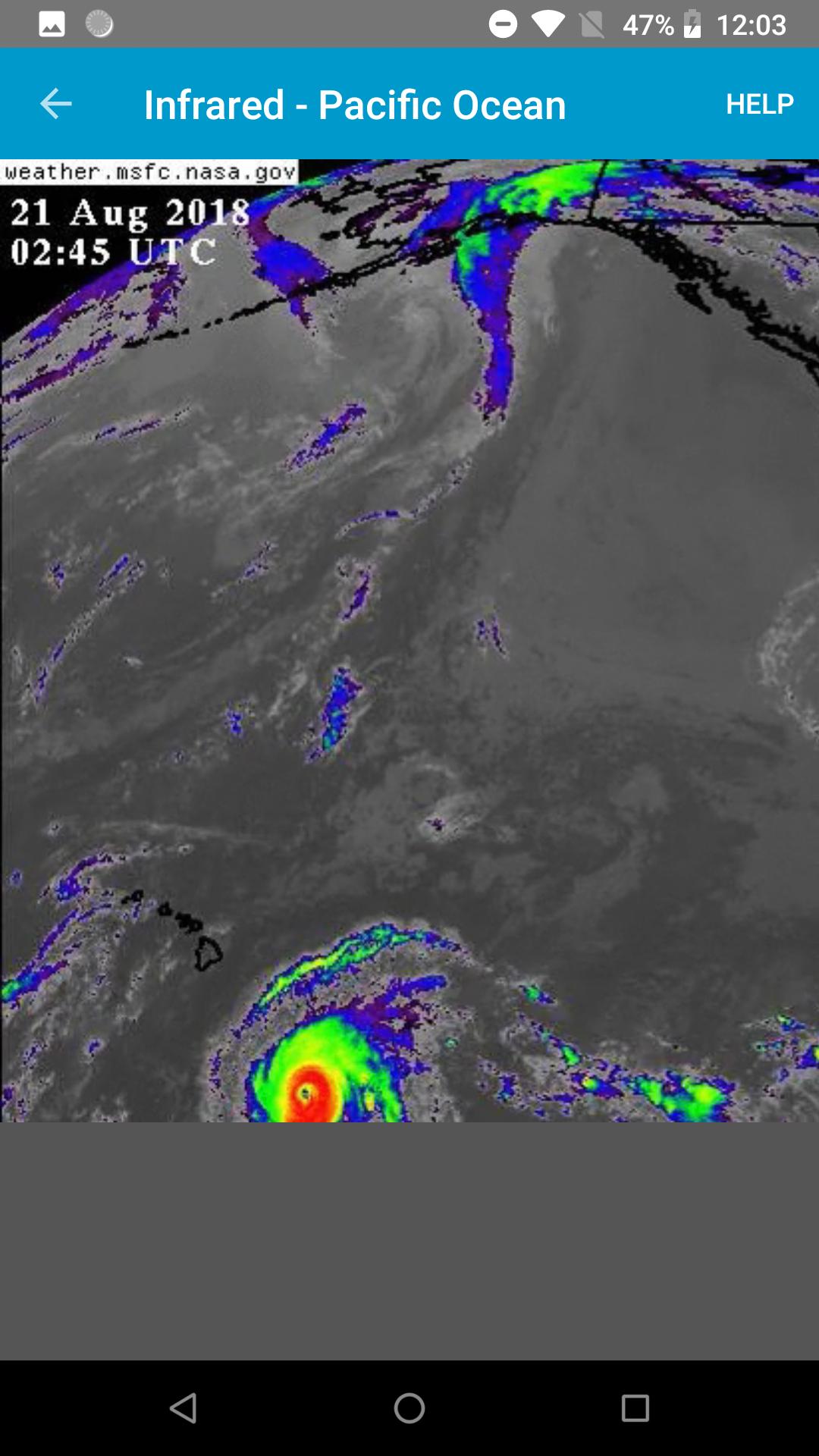
View recent infrared, visible, and water vapor loops from the NASA Geostationary Operational Environmental (GOES) satellite.
This app is good for seeing fronts, tropical storms, and hurricanes well before they arrive.
New data frames usually come once every 10 to 15 minutes and are added to the end of the loops automatically. Image timestamps are displayed in UTC.
This app is not affiliated with NASA or any government agency.
Available geographic views:
GeoColor:
West - PACUS
West - Full Disk
East - CONUS
East - Full Disk
Infrared:
East- CONUS
East - North Hemisphere
West - Pacific Ocean
East - CONUS Band 7
East - Full Disk Band 7
West - PACUS Band 7
West - Full Disk Band 7
Visible:
East- CONUS
East - North Hemisphere
West - Pacific Ocean
Water Vapor:
East- CONUS
East - North Hemisphere
West - Pacific Ocean
Last updated on Sep 15, 2024
- Updated the app's minimum Android SDK version from 19 to 21. The app's target Android SDK Version remains at 34.
Latest Version
![]() 1.5.2
1.5.2
Uploaded by
صالح المسالمة
Requires Android
Android 5.0+
Available on
![]()
Category
Report


Discover what you want easier, faster and safer.

Simple Satellite Weather Loops
1.5.2 by David Gross Apps
Sep 15, 2024